|
|
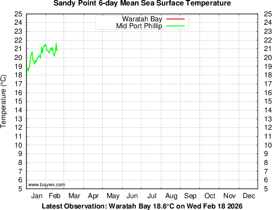
2000 Graph | 2001 | 2002 | 2003 | 2004 | 2005 | 2006 | 2007 | 2008 | 2009 | 2010 | 2011 Multi-year Comparison:Bay/Ocean/W.Port Observations are updated daily at 0:00 UTC. Graph redrawn at 11:30 EST. *N.B. Data taken from new system July 17 2002 |


|
| home | contact | |
| Disclaimer: Whilst all care is taken, users are advised to check the original source of all data before use. |